Share pathway improvements
PCC has advised that work on the SH59 and Pukerua Beach Rd starts tomorrow 25 November.
https://poriruacity.govt.nz/services/parking-transport/streets-roads/
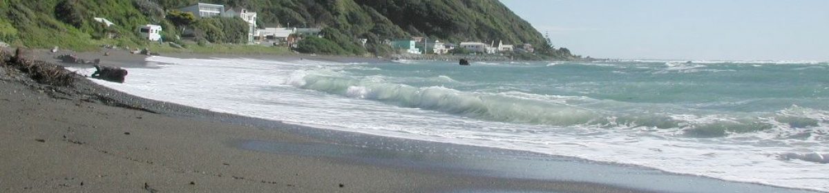
Pukerua Bay shared pathway – Stage Two improvements planned
Work to continue improving the shared pathway intersection connections through Pukerua Bay is due to start on Friday 25 November 2022 .
This work is Stage Two of a project that began last year.
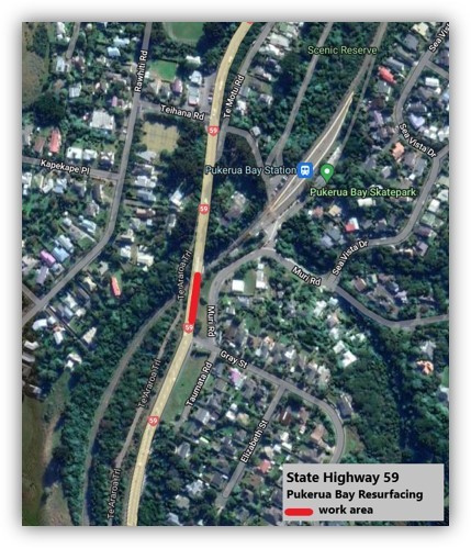
The first part of this project will involve upgrades to the intersections at Pukerua Beach Rd, Haunui Rd, and SH59.
Proposed works
- In late 2022 – improvements to the intersections of Pukerua Beach Road and SH59, and Haunui Road and Pukerua Beach Road, to make them safer for pedestrians, cyclists and turning vehicles. This work will include narrowing both intersections by building out the kerbs, new road markings, dropped kerbs and improved pathway connections to improve access for pathway users.
- In early 2023 – improvements to the intersection of Wairaka Road and SH59 to make it safer for pedestrians, cyclists and turning vehicles. This work will include narrowing the entrance to Wairaka Road by building out the kerbs, new road markings, dropped kerbs and improved pathway connections to improve access for pathway users.
Extensive traffic management will be in place for all works so residents can expect some disruptions while the works are completed.
Porirua City Council is managing the project, which is 100 percent funded by Waka Kotahi NZ Transport Agency through its programme of highway cycle improvements.
Stage One improvements completed
Stage one of this project was completed in July 2021.
It included the following improvements:
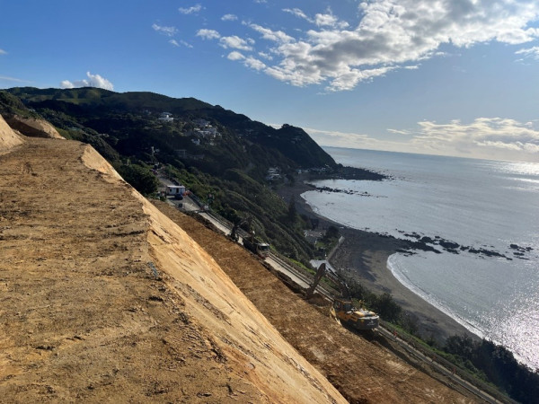
- Widening the zig zag pathway between Haunui Road and SH1 to make it easier for cyclists, particularly on the bends. This work included tree removal, re-asphalting the pathway and introducing holdrail in places.
- Improved pathway directional signage from the lookout at the northern end of Pukerua Bay to Porirua Railway Station.
- Pedestrian improvements through the northern lookout site.
*NB: In response to resident’s requests, extensive conversations were had with Waka Kotahi about installing a barrier or similar at the bottom of the zig-zag path to stop an errant rider from landing on SH59, however the barrier needed to be able to be compliant for vehicle drivers and not just provide protection for cyclists which meant that what was suitable for protecting cyclists was not safe or acceptable for the road environment and passing traffic. We have therefore opted to remove a couple of trees at the bottom of the zig-zag and widen the path to improve sightlines between path users at this pinch point.