Thanks to several gardeners and a friend with a drone camera, we have now mapped the trees in the garden!
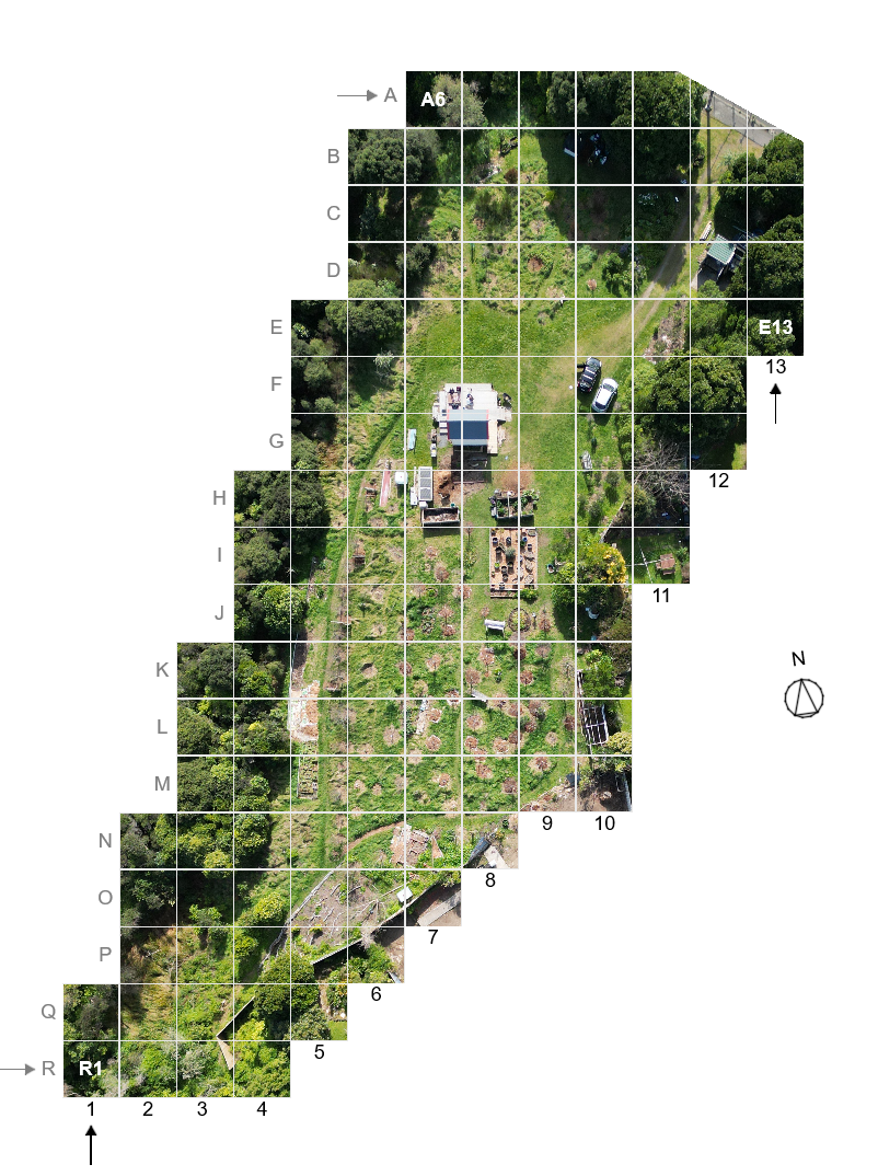
Using this map in conjunction with our plant ID list, it’s now possible to find individual trees.
Click to download both documents:
Using this map in conjunction with our plant ID list, it’s now possible to find individual trees.
Click to download both documents: